
The Core Trade-Off: Time, Fuel, and What You Actually Get
Every road tripper faces this fork in the road: follow the GPS straight shot down the interstate, or peel off onto a two-lane byway that promises something worth slowing down for. The honest answer isn't which is better - it's which is better for your trip.
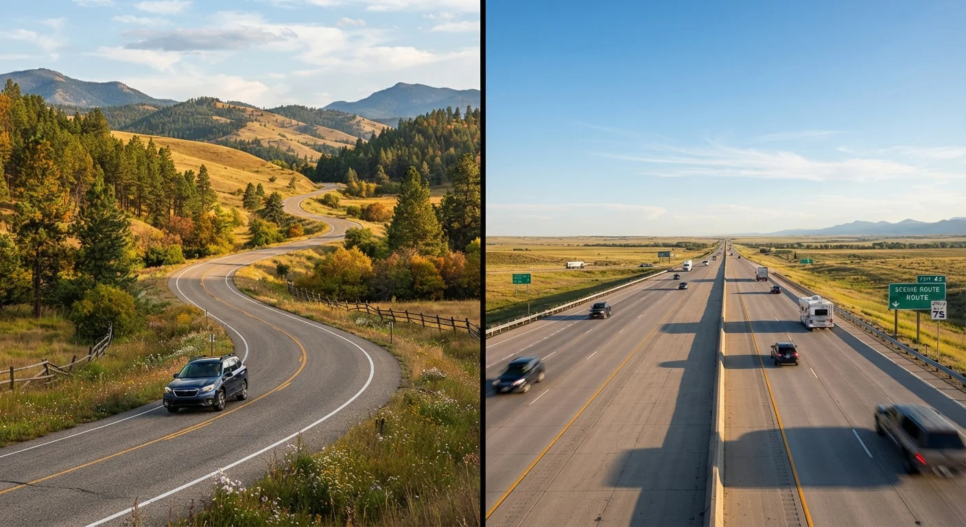
Speed and fuel efficiency are tightly linked. Highways let you maintain a steady 65-70 mph, which sits close to the sweet spot for most gasoline-powered vehicles. Byways, with their curves, grades, and small-town stop signs, often drop average speeds to 40-50 mph - and that irregular driving pattern can reduce fuel economy by a meaningful margin, particularly for trucks, SUVs, or older vehicles. On a 300-mile day, that difference can add up to an extra tank stop.
Time costs money too, even if it doesn't show up on a receipt. An extra four hours on a scenic route might mean an unplanned overnight stay - which can easily dwarf any fuel savings. On the flip side, scenic byways regularly pass through underrated domestic destinations that have no admission fee and no crowds, which is a form of savings interstates simply can't replicate.
Pros of Choosing Scenic Byways
America's network of designated scenic byways - including routes recognized under the federal All-American Roads program - threads through some genuinely spectacular terrain that interstates were engineered to bypass entirely.
Free scenery replaces paid attractions
Many byways pass through national forests, state parks, and public lands with no entry fee, effectively substituting paid sightseeing with scenery that's free by default.
Cheaper lodging in smaller byway towns
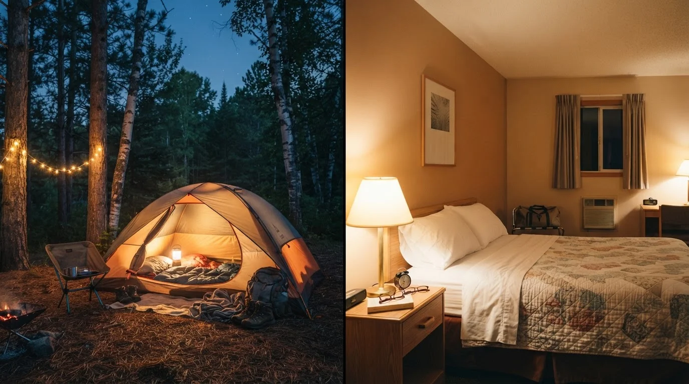
Small towns along scenic routes often feature independently run motels and inns priced well below interstate corridor chains, particularly in rural regions of the South and Mountain West.
Lower-cost, higher-quality local food
Diners and local eateries along byways typically undercut highway chain restaurants on price while offering food that's far more interesting and regionally distinct.
Discover <a href="/us-local-travel/hidden-us-gems">hidden US gems</a> off the radar
Scenic routes frequently pass through underexplored towns and landscapes that don't appear in mainstream travel guides, offering a richer experience without the tourist-price premium.
Avoid costly urban toll corridors
Some scenic byways bypass heavily tolled metropolitan stretches entirely, which can save meaningful money on trips routing through or near major cities.
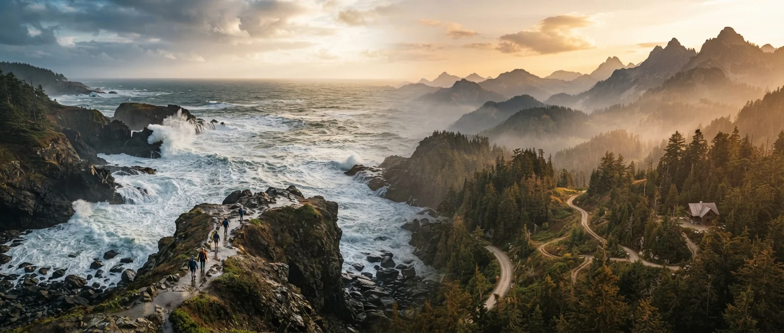
For trips like the Blue Ridge Parkway or Skyline Drive, the byway literally is the attraction. The same holds for California's Route 1 or Washington's Cascade Loop - routes where paying for a viewpoint simply isn't necessary because the road itself delivers the spectacle.
Cons of Choosing Scenic Byways
Romanticizing the byway is easy; budgeting honestly for it is harder. Here's where the costs creep in.
Lower fuel economy on winding, hilly roads
Frequent speed changes, steep grades, and lower average speeds all reduce miles per gallon, sometimes significantly, especially for larger or older vehicles.
Extra mileage adds real fuel cost
Byways often take geographically indirect paths, meaning the route between two points can be 20-40% longer in miles than the interstate equivalent - directly increasing fuel spend.
Longer travel time risks unplanned overnight stops
If a scenic detour extends driving by several hours, you may need an additional night of lodging that wasn't in the budget, erasing any savings made on the road.
Fewer gas stations, higher per-gallon prices
Remote byway corridors sometimes have limited fueling options, and rural gas stations in isolated areas can charge noticeably more per gallon than competitive interstate highway exits.
Limited emergency services and roadside assistance
A breakdown on a remote scenic route can mean long waits and expensive tow fees, especially in areas with poor cell coverage and sparse service infrastructure.
If your route involves a choice like a major cross-country corridor, covering large distances on scenic routes alone can seriously strain both your schedule and your wallet. Being strategic - using byways selectively for the most rewarding segments - tends to outperform an all-or-nothing approach.
When the Interstate Actually Makes More Sense
Let's be direct: there are stretches of the US where an interstate is the right call for budget travelers, full stop. Long, featureless corridors through flat agricultural states - think I-70 across Kansas or I-10 through west Texas - don't have byway alternatives that meaningfully compete on scenery, yet would add hours and fuel costs. Burning through those segments quickly and saving your detour budget for genuinely spectacular regions is just smart planning.
~15%
Fuel economy drop at irregular speeds
The U.S. Department of Energy notes that fuel economy typically decreases significantly at speeds above 50 mph and varies considerably with aggressive acceleration and braking.
150,000+ miles
Total US designated scenic byway network
America's Byways program, managed by the Federal Highway Administration, recognizes routes across all 50 states ranging from short loops to multi-state corridors.
Tolls are worth factoring in, too. Some interstates - particularly in the Northeast and Midwest - carry significant toll costs that erode the efficiency advantage. Checking a route's toll exposure before you go helps prevent sticker shock at the booth. Contrast that with routes like the Gulf Coast Drive, which blends coastal scenery with low costs and minimal tolls.
The smartest road trip budgets treat byways as a curated experience, not a default setting. Use interstates to cover ground efficiently, and drop onto scenic routes when the payoff - in landscape, free attractions, or unique local towns - is genuinely high. That hybrid approach, rather than dogmatic commitment to either road type, tends to stretch a road trip dollar furthest. It's also worth remembering that road trips themselves can represent strong value compared to flying, as explored in a breakdown of road trips vs. fly-and-stay options - but only when planned with realistic cost expectations.
Hybrid Route Planning Is Worth the Prep
Many GPS and mapping apps now allow you to toggle between 'fastest route' and 'scenic route' options, making it easier to preview where a byway diverges from the interstate and by how much time. Spending 20-30 minutes with a map before departure - identifying which segments are worth slowing down for - is one of the highest-return planning investments a road tripper can make. Consider checking state DOT websites for road condition updates on less-traveled byways, particularly in mountain or desert regions.