
The Two Corridors at a Glance
America's two great transcontinental driving corridors couldn't feel more different once you're behind the wheel. Interstate 90 runs from Seattle, Washington to Boston, Massachusetts - roughly 3,020 miles through the Cascades, the Rockies, the Black Hills, the Great Lakes, and upstate New York. Interstate 10 stretches from Los Angeles, California to Jacksonville, Florida - about 2,460 miles across the Mojave Desert, Arizona, New Mexico, Texas Hill Country, Louisiana bayous, and the Gulf Coast.
That 560-mile difference in length has real budget implications. At 30 miles per gallon, I-10's shorter distance alone saves you roughly 18 gallons of fuel versus I-90 - a meaningful head start before you've made a single other decision. But distance is just one variable. Gas prices, terrain, lodging density, and free attraction opportunities all shape which route actually costs less to drive.
| I-90 Northern Route | I-10 Southern Route | |
|---|---|---|
| Total distance (coast to coast) | ~3,020 miles | ~2,460 miles |
| Typical fuel price environment | Mixed; WA and MA are higher-cost | TX and NM tend below national avg |
| Free camping availability | High - extensive BLM and National Forest land | Moderate - more paid campgrounds |
| Budget motel density | Moderate; sparser in rural Montana | High in major metro corridors |
| Winter drivability | Challenging; passes can close | Generally manageable year-round |
| Summer heat risk | Low to moderate | High - desert temps exceed 105°F |
| Major national park proximity | Badlands, Glacier, Yellowstone nearby | Joshua Tree, White Sands, Big Bend nearby |
| Ideal travel season | June through September | March-May or September-November |
Fuel Costs: Where You'll Spend More at the Pump
Gas prices vary considerably by state, and both routes cross through regions with notably different averages. The I-10 corridor passes through Texas and Louisiana - states that have historically maintained some of the lower average fuel prices in the continental US, partly due to proximity to refining infrastructure. New Mexico also trends below the national average.
I-90 enters Washington State, where gas taxes are among the highest in the country, and continues through Montana and South Dakota - states that tend to land near the national average. The route terminates in Massachusetts, another higher-cost fuel state. For a vehicle averaging 28 mpg making the full I-90 run, expect fuel to be your single largest variable cost.
One practical workaround on either route: plan your fill-ups in smaller towns just off the interstate rather than at highway-facing stations, which often carry a premium. Apps that aggregate real-time prices can help you game this regardless of which corridor you choose. For a deeper look at when driving makes financial sense versus flying, see our road trip vs. fly-and-stay cost comparison.
Lodging: Motels, Campgrounds, and Free Nights
Budget lodging availability tilts toward I-10 in urban stretches. The corridor threads through major metros - Phoenix, Tucson, El Paso, San Antonio, Houston, and New Orleans - where intense motel competition keeps rates lower than in comparable northern cities. Independent budget motels cluster around these exits, and mid-week rates in desert towns can be genuinely low.
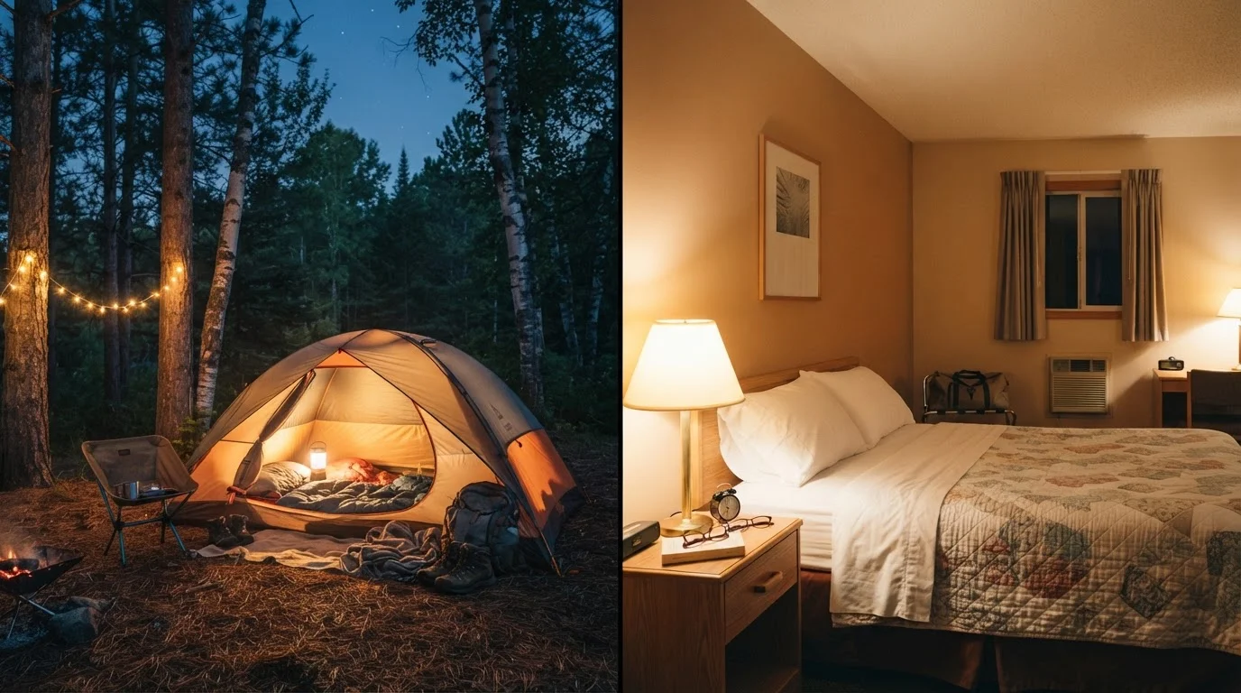
Where I-90 wins is free and low-cost camping. The route passes close to the Gallatin National Forest, the Black Hills National Forest, and numerous Bureau of Land Management (BLM) dispersed camping zones in Montana and Wyoming. If you carry a tent or sleep in your vehicle, stretches of the northern route can be driven with near-zero accommodation spend. National Forest dispersed camping is free on most lands - you simply need to follow posted rules about distance from water sources and roads.
Stretch Your Camping Budget on I-90
On the northern corridor, download the free Motor Vehicle Use Maps from the US Forest Service website before you leave home. These show which Forest Service roads allow dispersed camping and where fire restrictions apply. Pairing a night or two of free camping with a paid campground resets your lodging average significantly. Always carry extra water, a paper backup map, and let someone know your planned stops.
I-10 also has camping options - Saguaro National Park, Guadalupe Mountains National Park, and Bosque del Apache National Wildlife Refuge sit near the corridor - but paid campground sites fill faster in peak season and free dispersed camping is less abundant than in the northern Rockies. If you're comparing scenic detour trade-offs, our guide on scenic byways vs. interstates is worth a read before finalizing your overnights.
Attractions: Free Stops Along Each Route
Both corridors are genuinely rich with free or low-cost stops - the question is what landscape and culture you're after.
I-90 highlights: Mount Rainier area viewpoints, Spokane's Riverfront Park, Coeur d'Alene lakefront, Missoula's trails, Badlands National Park (entrance fee applies but nearby grasslands are free), and the often-overlooked Champlain Valley in Vermont. Wall Drug in South Dakota is famously free to wander, whatever you think of the spectacle. For a complementary look at a classic northern detour, check out what Route 66 still offers today - it intersects near the I-40/I-90 switchover zone.
I-10 highlights: Joshua Tree National Park (short detour from Coachella Valley), White Sands National Park in New Mexico, the free sections of San Antonio's River Walk, Bayou Sauvage National Wildlife Refuge outside New Orleans, and Florida's free state forest trailheads near Tallahassee. The southern route also puts you within striking distance of California's Route 1 and the PCH if you build in a coastal leg before heading east.
2,460 mi
I-10 coast-to-coast distance
The I-10 corridor is roughly 560 miles shorter than I-90, translating to meaningful fuel savings on a full transcontinental run.
245M acres
BLM land open to dispersed camping
The Bureau of Land Management oversees approximately 245 million acres of public land, much of it accessible along the I-90 northern corridor for free dispersed camping.
105°F+
Peak summer desert temps on I-10
Arizona and New Mexico sections of I-10 regularly see temperatures above 105°F in July and August, posing risks for vehicle reliability and personal safety.
Seasonal Timing and Its Budget Impact
Season is perhaps the single biggest cost modifier on either route, and it affects the two corridors very differently.
I-90 in winter is genuinely risky through the Cascades, Montana, and South Dakota. Chain requirements, road closures, and the real possibility of being stranded add both cost and stress. Winter tires or chains aren't cheap, and an unplanned motel stop due to a pass closure can wreck a tight budget. If you're driving I-90, summer and early fall are the clear sweet spot - passes are open, campgrounds are accessible, and park entrance stations are staffed.
I-10 in summer carries its own challenges. Temperatures in the Arizona and New Mexico deserts routinely exceed 105°F, which strains vehicle cooling systems and makes any breakdown genuinely dangerous. If your vehicle runs hot or lacks reliable AC, the southern route in July and August warrants caution. Spring (March-May) and fall (September-November) are the most comfortable and cost-predictable windows for I-10. Traveling these shoulders also avoids the premium holiday pricing that hits Gulf Coast and New Orleans accommodations in summer. For families weighing all of this, our road trip vs. fly-and-stay guide for families addresses how season affects the overall math.
Always check current road conditions, weather advisories, and any national park reservation requirements with official sources before departing - conditions change and this article cannot guarantee what you'll encounter on travel day.