
Why the PCH Rewards Budget Travelers
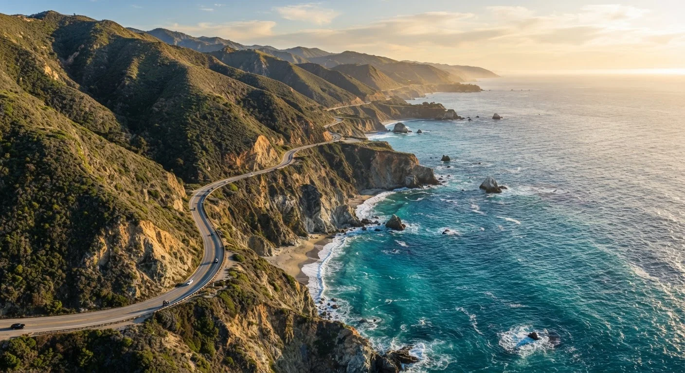
California's Route 1 - the Pacific Coast Highway - stretches roughly 650 miles between Dana Point in the south and Leggett in the north, threading through some of the most spectacular coastal scenery in North America. What makes it genuinely budget-friendly is structural: the road itself is public infrastructure, the ocean never charges admission, and dozens of pull-outs, state beaches, and national forest access points are either free or modestly priced.
Unlike a cruise or a resort vacation, a PCH road trip scales naturally to what you spend on sleep and food - two categories where smart planning has an outsized impact. For contrast, see how managing a cruise budget compares in complexity. On the PCH, you hold almost every variable.
~650 miles
Total length of California's Route 1
Route 1 runs from Dana Point in Orange County north to Leggett in Mendocino County, passing through multiple distinct coastal ecosystems.
$8-$12
Typical California State Parks day-use fee
Per-vehicle day-use fees at most California coastal state parks, as listed on the California Department of Parks and Recreation fee schedule.
5-7 days
Recommended minimum drive duration
Travel writers and California State Parks guidance consistently suggest at least five days to experience the corridor without rushing key stops.
Planning Your Route: Key Segments and Stopping Points
Most budget-focused drivers tackle the PCH in one of three directional bites: Los Angeles to San Luis Obispo (~200 miles), San Luis Obispo to Monterey (~120 miles through Big Sur), and Monterey to San Francisco (~120 miles). Each segment has a distinct character and cost profile.
- LA to SLO: Malibu's public beaches, Point Mugu State Park, and Pismo Beach dunes dominate this stretch. Developed campgrounds become available quickly north of Malibu.
- Big Sur corridor: The most dramatic - and most fuel-isolating - segment. Plan fuel and groceries before entering from either end.
- Monterey to SF: Santa Cruz, Half Moon Bay, and Pacifica offer urban amenity at lower cost than San Francisco itself.
Thinking about how the PCH compares to longer cross-country corridors? Northern vs. Southern transcontinental routes offer a useful benchmark for scale and cost.
Free and Low-Cost Viewpoints Worth Every Stop
The PCH is lined with unmarked pull-outs where you can park, breathe in the salt air, and photograph the bluffs - no fee required. Beyond those informal stops, several standout viewpoints carry minimal or no cost:
- Bixby Creek Bridge (Big Sur): Park on the north shoulder and walk to the overlook. Free.
- Point Reyes National Seashore: Day use is free; only some camping requires a reservation fee.
- McWay Falls, Julia Pfeiffer Burns State Park: Day-use fee applies (~$10 per vehicle), but the waterfall-onto-beach view is genuinely iconic.
- Pfeiffer Beach, Los Padres National Forest: A small day-use fee grants access to purple-sand coves and keyhole rock arches.
- Ano Nuevo State Park: Seasonal elephant seal viewings require a guided tour reservation - worth the modest fee.
Reserve Big Sur state campgrounds the moment the six-month booking window opens on ReserveCalifornia - these sites sell out within hours during summer.
Pfeiffer Big Sur and Andrew Molera campgrounds are among the most in-demand in the California state system; last-minute availability is essentially zero in peak season.
Drive the Big Sur segment south-to-north in the afternoon so the sun is behind you - ocean views are dramatically better when you're not squinting into glare.
Westward-facing bluffs on a southbound afternoon drive put the sun directly in the driver's line of sight, reducing both safety and photographic enjoyment.
If you plan to stop at multiple California State Parks in one trip, the California State Parks annual pass can pay for itself within two or three day-use entries.
Affordable Overnight Options Along Route 1
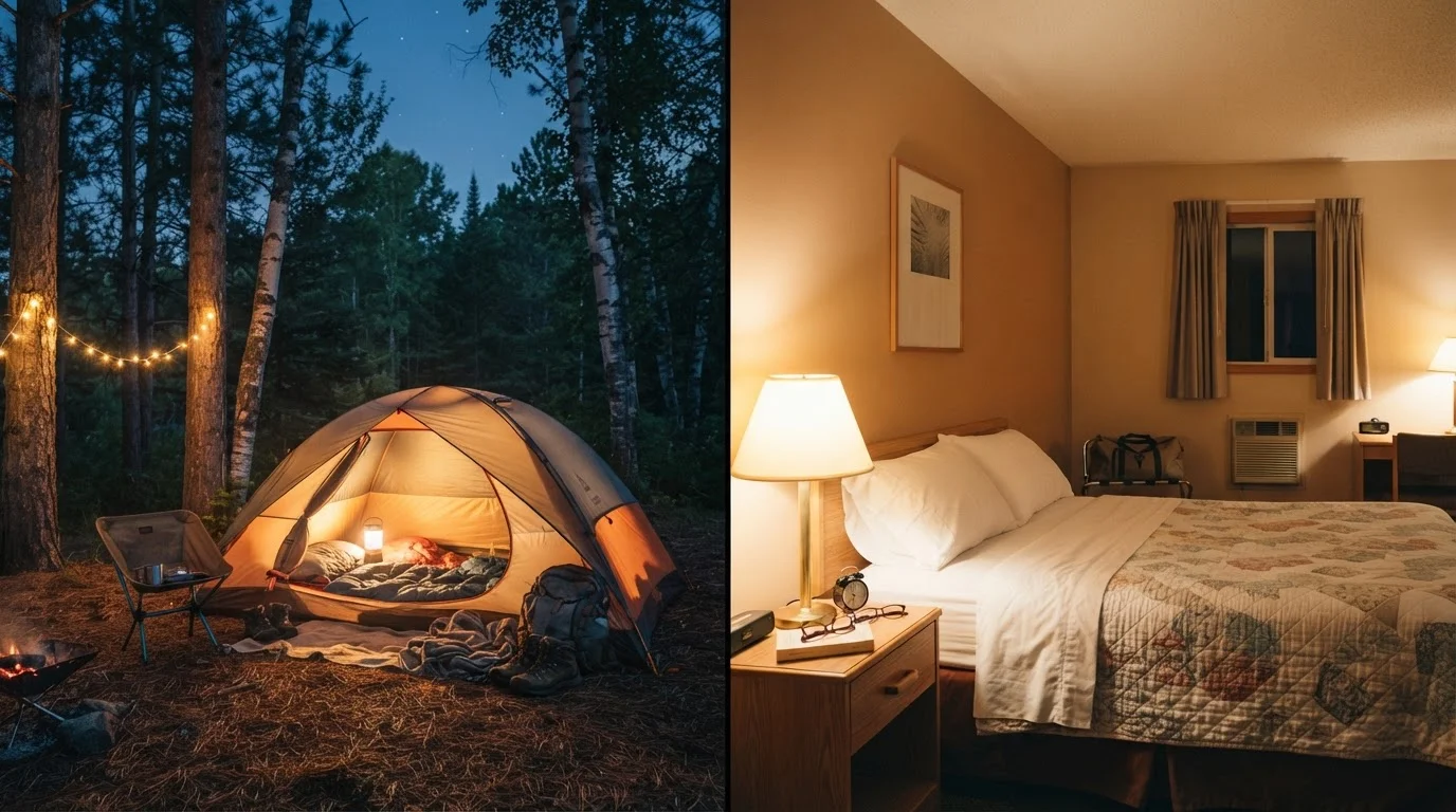
Lodging is where PCH budgets most often buckle. Oceanfront motels in Carmel or Santa Barbara can run $200+ per night. The solution is layering your overnight strategy.
Book Campsites Early for Big Sur
Big Sur state campgrounds open reservations six months in advance and fill rapidly - especially for summer weekends. Set a calendar alert and book on opening day. Shoulder-season travelers (April-May, September-October) have more walk-up flexibility and often encounter thinner crowds at every stop along the corridor.
State park campgrounds - Morro Bay, Pfeiffer Big Sur, and Sunset State Beach among them - typically range from $25-$35 per night with reservations through ReserveCalifornia. Dispersed camping on Los Padres National Forest land adjacent to the corridor can drop that to near zero, though site availability and fire restrictions vary seasonally. For a full breakdown of free overnight strategies on US road trips, planning around free and low-cost overnight stays covers BLM land, Harvest Hosts, and rest area rules in detail.
Booking state park sites well in advance - six months for popular Big Sur campgrounds - is essentially mandatory in summer. Shoulder seasons offer more flexibility and, often, walk-up availability.
Fuel Strategy: Beating California's Pump Prices
California consistently ranks among the highest-fuel-cost states in the US, and prices on the isolated Big Sur stretch routinely exceed statewide averages by a significant margin. A few targeted habits make a real difference:
- Fill up in larger towns before entering Big Sur from either direction - Cambria to the south and Carmel to the north are your last reliable options for competitive pricing.
- Track prices with a gas-price app before each fill-up in towns with multiple stations.
- Drive at a steady pace. The PCH's twisting curves encourage speed variation that cuts fuel efficiency. Smooth, consistent throttle on the straights matters more here than on an interstate.
Big Sur Has Almost No Fuel Options
There are effectively no gas stations in the Big Sur corridor between Cambria and Carmel - a stretch of roughly 90 miles. Driving in with less than a full tank is a genuine risk. Fill up completely in the last sizable town before you enter the corridor from either direction, and verify your vehicle's range before setting out.
For a broader look at where road trip fuel budgets go wrong, fuel, food, and lodging overspending patterns is a useful companion read.
Eating Well Without Draining Your Budget
Coastal California dining can be expensive, but the region also has a strong culture of farm stands, fish tacos, and taqueria-style spots that deliver quality at accessible prices. A practical approach:
- Stock a cooler before leaving LA, SLO, or Monterey with sandwich ingredients, fruit, and snacks. Grocery stores in tourist towns charge a premium.
- Seek out taco trucks and lunch counters in working towns like Morro Bay, Castroville (artichoke capital), and Half Moon Bay - locals eat there for a reason.
- Picnic at state beaches. Most have tables and grills; a beach picnic with fresh produce beats a mid-range restaurant on nearly every metric.
- Limit sit-down restaurant meals to one per day, prioritizing dinner in towns where competition keeps prices honest.
Practical Tips for a Smooth, Affordable Drive
A few logistical details separate a PCH trip that stays on budget from one that doesn't:
- Allow 5-7 days minimum. Rushing generates costly snap decisions - last-minute motel bookings, gas-station meals, missed free sites.
- Check road conditions before departure. Route 1 through Big Sur is periodically closed for storm or slide damage; Caltrans Quick Map is the authoritative source.
- Download offline maps. Cell signal drops out in Big Sur; navigating without data is common.
- Carry cash. Some campgrounds and parking areas still operate on iron ranger fee boxes.
Road Closures Are a Real Possibility
Route 1 through Big Sur is periodically closed due to mudslides, storm damage, or wildfire activity - sometimes for weeks or months. Always check Caltrans Quick Map (quickmap.dot.ca.gov) before your departure date and build flexibility into your itinerary. Travel insurance that covers trip interruption may be worth considering for longer PCH trips.
If the PCH's scenic detours have you curious about the broader trade-offs of byway driving versus interstate efficiency, scenic byways vs. interstates lays out those trade-offs honestly.
The Pacific Coast Highway isn't a drive you optimize into submission - it's one you pace deliberately. Keep your overnight costs anchored, fuel up strategically, and let the free stuff (which is most of the best stuff) carry the trip.