
What Makes the Cascade Loop Worth Planning Carefully
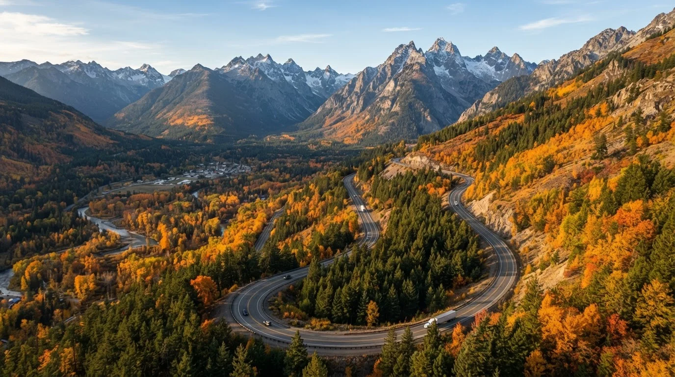
The Cascade Loop is Washington State's designated scenic byway circuit - a roughly 440-mile drive that stitches together the wet, forested western Cascades, the dramatic alpine corridor of Highway 20, the arid ranch land and orchards of the eastern slope, and the volcanic foothills south of Stevens Pass. It's a genuinely diverse route: within 48 hours of driving you'll go from old-growth Douglas fir to apple orchards to turquoise glacial lakes.
The challenge for budget travelers is that the loop passes through several tourist-heavy towns - Leavenworth, Winthrop, Chelan - where pricing reflects visitor demand rather than local economy. Without a plan, costs accumulate fast. With one, this is one of the most rewarding road trips in the continental US at a fraction of what many travelers spend. For perspective on how scenic byways compare to faster interstate routes in terms of real cost trade-offs, see Scenic Byways vs. Interstates.
What you will need
Tools and Passes to Have Before You Leave
Getting the logistics right before the trip saves both money and frustration in the field. A handful of resources and passes do the heavy lifting.
America the Beautiful Annual Pass
Covers day-use entry fees at North Cascades National Park and other federal recreation areas along the route.
WSDOT Pass Report (wsdot.wa.gov)
Provides real-time mountain pass conditions and closure alerts for Stevens Pass and Highway 20.
Recreation.gov
Used to reserve campsites at federal campgrounds along the loop, especially during summer peak season.
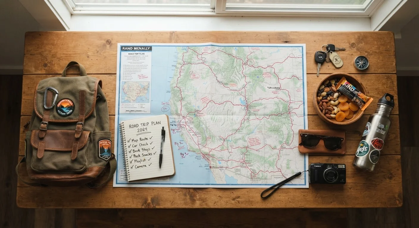
Paper Washington State Road Map
Backup navigation for the many sections of the loop with no cell service.
Mountain Pass Closures Can Derail Your Timeline
Washington's mountain passes - including Stevens Pass and Rainy Pass on Highway 20 - can close without warning due to snow, avalanche risk, or emergency maintenance. Highway 20 (North Cascades Highway) typically closes from mid-November through late April. Always check current pass conditions through the Washington State Department of Transportation (WSDOT) before departing, and build buffer days into your itinerary.
With your passes secured and conditions checked, you're ready to work through the step-by-step plan below.
What to Expect After the Loop
Completing the Cascade Loop typically runs $500-$800 total for a solo traveler over 5-7 days, or $650-$1,000 for two people sharing costs, depending on how aggressively you use free camping and self-catered meals. Those aren't fixed figures - fuel prices, campsite fees, and personal spending patterns vary considerably - but they give a realistic planning baseline.
The loop rewards a mindset of slowing down and choosing quality stops over quantity. The travelers who get the most out of it aren't the ones who visit every pullout; they're the ones who spend an extra hour at Diablo Lake or find a farmstand outside Quincy and call it lunch. Budget travel on a route this scenic isn't about deprivation - it's about spending intentionally so the experience, not the bill, is what you remember.
Cell Coverage Drops Significantly in the Cascades
Large stretches of the loop - especially through the North Cascades and along the Methow Valley - have limited or no cell service. Download offline maps, carry a paper backup, and let someone know your itinerary before you set out.