
What Makes This Route Different from Better-Known US Drives
The Pacific Coast Highway gets the Instagram posts. Route 66 gets the nostalgia documentaries. The Gulf Coast Drive gets overlooked - and that's precisely what makes it worth your attention.
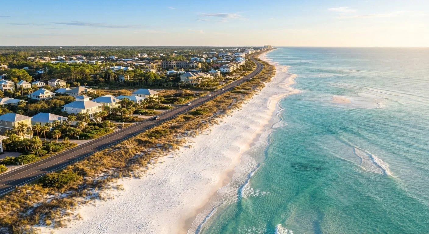
Stretching from the sugar-white quartz beaches of the Florida Panhandle through the bayou parishes of Louisiana and down to the wind-sculpted barrier islands of South Texas, this corridor offers genuine regional diversity without the crowd pressure of America's marquee routes. The Gulf of Mexico's calm, warm waters and flat coastal geography create a road trip environment that's accessible rather than demanding - no mountain passes, no white-knuckle switchbacks.
For budget-conscious travelers, the arithmetic works out favorably. Coastal accommodation in towns like Biloxi, Mississippi, or Rockport, Texas, sits well below pricing on comparable Atlantic or Pacific resort beaches. Fresh Gulf seafood - shrimp, oysters, redfish - is often priced closer to what it actually costs to catch than to what it costs in tourist-saturated markets. And the route's mix of underrated Gulf towns means your dollars stretch further simply because fewer people are competing for the same tables and parking spots.
70 miles
Undeveloped barrier island beach at Padre Island National Seashore
According to the National Park Service, Padre Island National Seashore is the longest undeveloped barrier island in the world.
5 states
States connected by the Gulf Coast corridor
The route passes through Florida, Alabama, Mississippi, Louisiana, and Texas - each offering distinct regional culture and coastal character.
~1,600 miles
Approximate total Gulf Coast shoreline distance
NOAA estimates the U.S. Gulf Coast shoreline at roughly 1,631 miles, spanning the five-state corridor.
The Five States, Broken Down Honestly
Understanding the route's character by state helps avoid surprises and lets you prioritize based on your interests and timeline.
Florida Panhandle: Pensacola through Panama City delivers the corridor's most photographed beaches - the quartz-sand shores around Fort Walton Beach and Destin are legitimately stunning. This segment is also the most visited and most expensive of the five states, especially in summer. Visiting in April or October shifts the experience considerably.
Alabama: Gulf Shores and Orange Beach are compact, family-oriented, and often more affordable than Florida's Panhandle neighbors. Gulf State Park offers beachfront camping at rates that undercut any nearby hotel.
Mississippi: The Mississippi Gulf Coast is the most underestimated stretch. Biloxi's mix of maritime history, casino resort infrastructure (which drives down lodging competition), and the nearby Gulf Islands National Seashore makes it a genuine sleeper stop. The seashore's barrier islands are accessible only by ferry and remain dramatically undeveloped.
Louisiana: The coastal Louisiana segment trades beaches for bayou - marshland, fishing villages, and the Creole and Cajun cultural corridor. Grand Isle is the state's only inhabited barrier island and one of America's least-hyped beach destinations. New Orleans sits just inland and merits at least a night.
Texas: The Texas Coastal Bend, from Matagorda Bay down through Padre Island to South Padre Island, covers more distance than most travelers expect. Padre Island National Seashore is the longest stretch of undeveloped barrier island in the world - 70 miles of beach with minimal infrastructure and minimal admission costs. Port Aransas and Rockport are charming, low-key fishing towns with genuinely affordable seafood.
Planning the Route Without Overcomplicating It
One mistake travelers make with long coastal routes is treating every mile as mandatory. The Gulf Coast Drive rewards selective planning more than completionist driving.
A practical framework: anchor your trip around two or three towns you actually want to spend time in, then fill the driving days around those anchors rather than treating the highway as the destination itself. If the Mississippi barrier islands intrigue you, build a day around the ferry schedule. If Padre Island is the draw, plan to camp rather than day-trip - the experience changes entirely once the day visitors leave.
Use National Park Passes Strategically
Gulf Islands National Seashore (Florida and Mississippi) and Padre Island National Seashore (Texas) both accept the America the Beautiful Interagency Annual Pass. If you're planning to visit two or more national parks or federal recreation sites on your trip, the annual pass typically pays for itself quickly. Check the National Park Service website for current pass pricing and participating sites.
For route planning logistics, it's worth understanding the trade-offs between the slower coastal highways and inland interstate options. Our look at scenic byways versus interstates maps those decisions clearly - the Gulf route has several junctions where the interstate genuinely saves time without sacrificing much scenery.
Travelers who enjoy combining coastal driving with urban exploration should also consider that the Gulf corridor connects several underappreciated small cities - Pensacola, Mobile, and Corpus Christi all punch above their tourism-profile weight in terms of food, history, and walkability.
If you're evaluating whether a Gulf beach town makes more financial sense than an inland alternative, our analysis of coastal towns versus inland alternatives offers a useful cost framework for that decision.
Travel conditions, entry fees, and road situations along the Gulf Coast Drive can change seasonally. Always verify current conditions with state park authorities and check weather and hurricane advisories through official sources before your trip.