
What Route 66 Actually Is Today
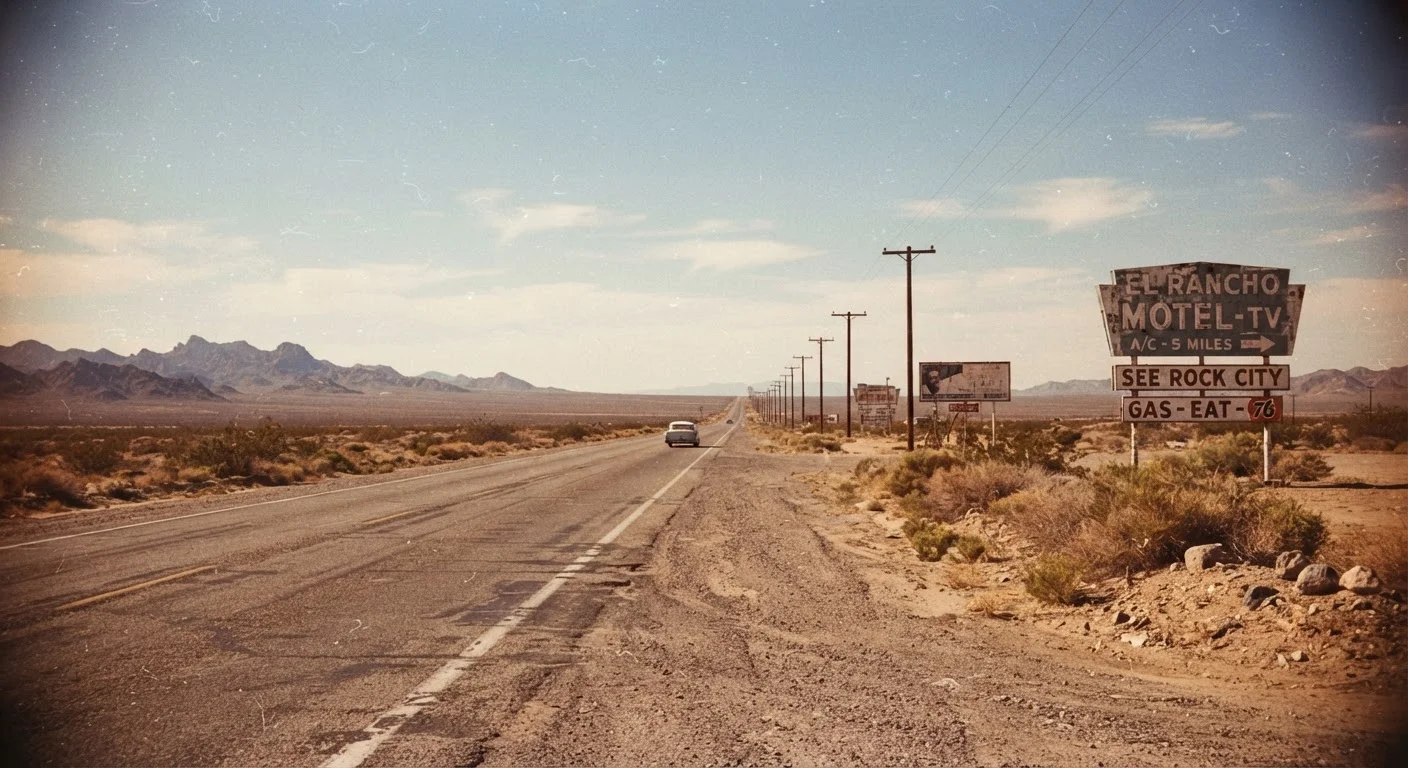
Route 66 is equal parts living road and mythological artifact. The original federal highway was decommissioned in 1985 after Interstate 40 - along with sections of I-55 and I-40 - rendered most of it redundant. What remains is a patchwork: some segments are pristine and well-signed, others are cracked two-lane stretches cutting through ghost towns, and a handful have been swallowed entirely by desert or development.
Eight states carry surviving pieces of the alignment: Illinois, Missouri, Kansas (just 13 miles), Oklahoma, Texas, New Mexico, Arizona, and California. The Illinois stretch from Chicago to the Missouri border is among the most intact and easiest to follow, while Arizona offers some of the most dramatic and photogenic desert miles. Oklahoma, often overlooked, preserves an extensive and accessible section with authentic mid-century motels and diners still operating.
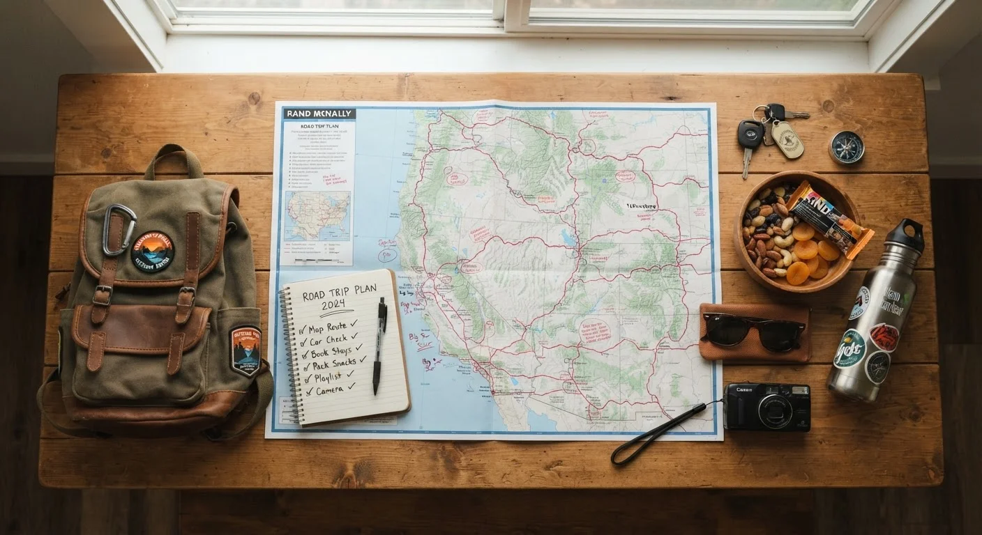
Before you go, invest in a current state-by-state map or guidebook - standard GPS navigation will often route you onto I-40 rather than the historic alignment. Several nonprofit Route 66 associations publish updated guides identifying which segments are open, which have deteriorated, and which detours are worth taking.
Iconic Stops: Still There vs. Gone
Part of the honest Route 66 experience is accepting that some celebrated landmarks no longer exist or exist only as ruins. The Wigwam Motels in Holbrook, Arizona, and San Bernardino, California, remain operating (though always verify current status before visiting). The Blue Swallow Motel in Tucumcari, New Mexico, continues to welcome guests. Cadillac Ranch outside Amarillo, Texas - a public art installation featuring ten Cadillacs half-buried nose-first in a field - is free to visit and still as surreal as ever.
On the other side of the ledger: the Coral Court Motel in Missouri was demolished in 1995. Many filling stations that looked photogenic in travel blogs a decade ago have since collapsed. The lesson is to check recent sources - not just glossy travel magazine roundups - before planning a long detour around a specific stop.
Petrified Forest National Park in Arizona sits directly on the historic alignment and is one of the route's genuine natural highlights. Standard national park entrance fees apply, so factor that into your budget. The park's 28-mile scenic drive through painted desert badlands is a legitimate highlight regardless of Route 66 nostalgia.
What a Realistic Budget Looks Like
Let's talk numbers, because "affordable road trip" means nothing without them. A solo traveler driving a vehicle averaging 28 miles per gallon across the roughly 2,400-mile corridor will consume approximately 86 gallons of fuel. At a national average around $3.50 per gallon (gas prices fluctuate - always check current rates), that's roughly $300 in fuel alone. Two people sharing a car split that cost but will likely upgrade lodging slightly.
~85%
Original Route 66 pavement still driveable
Estimates from Route 66 preservation organizations suggest the large majority of the original alignment survives in some form, though not as a contiguous route.
2,400 mi
Total corridor length, Chicago to Santa Monica
The original federally designated highway ran approximately 2,400 miles across eight states before its 1985 decommissioning.
$1,500-$2,500
Estimated solo budget for full 10-14 day trip
This range covers fuel, budget lodging, and meals for a solo driver; costs shift based on vehicle efficiency, lodging choices, and current fuel prices.
Budget motels and roadside motor courts along the route range from about $60-$110 per night in small towns. Camping is available in several stretches, particularly in New Mexico and Arizona, which can cut lodging costs dramatically. Meals at the surviving diners and cafes typically run $10-$18 per person. A solo traveler spending 12 nights on the road can realistically land between $1,500 and $2,000 with careful planning.
For a deeper look at where road trip budgets typically unravel, our guide on fuel, food, and lodging overspending breaks down the most common cost surprises and how to avoid them. And if you're weighing whether a drive makes more sense than flying to a single destination, this family travel cost comparison lays out the math clearly.
Planning Your Route 66 Trip Smarter
Timing matters considerably. Summer through the Southwest means temperatures regularly exceeding 100°F in Arizona and New Mexico - not dangerous if your vehicle's cooling system is sound, but uncomfortable for extended walking around outdoor stops. Spring (April-May) and fall (September-October) offer the most pleasant driving conditions and shoulder-season lodging rates.
Build Buffer Days Into Your Itinerary
Route 66 is not a highway you can reliably schedule by the hour. Road surfaces vary, unexpected detours around closed segments arise, and the best discoveries happen when you linger. Plan for one or two unscheduled buffer days across the trip - they cost nothing extra in lodging if you've already budgeted for the nights, and they absorb the inevitable surprises gracefully.
East-to-west is the traditional direction (Chicago to Santa Monica), but many travelers find driving west-to-east equally logical if they're flying into Los Angeles and returning to the Midwest. Neither direction is more or less intact - choose based on your home base and logistics.
Route 66 is primarily a scenic byway experience rather than an interstate drive, and that trade-off is real. Our comparison of scenic byways versus interstates is worth reading before committing to the slower pace, particularly if time is tight. And if you're curious how this corridor compares to major transcontinental alternatives, the northern vs. southern transcontinental route breakdown puts the options side by side.
The road rewards preparation and flexibility in equal measure. Research your specific segments, carry paper maps as backup, and build genuine slack into the itinerary. The best Route 66 moments tend to happen in the unplanned stops - the diner you ducked into for coffee, the mural town you didn't expect, the overlook with no parking lot and no sign.