
What Makes the Great River Road Worth Planning Around
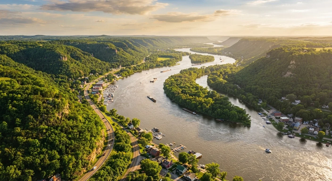
The Great River Road isn't a single highway - it's a coordinated network of state and federal roads designated to follow the Mississippi River as closely as possible through ten states. Green pilot-wheel signs mark the route at key turns, guiding drivers through river bluffs, flood plains, historic small cities, and some of the most biodiverse wetland ecosystems in North America.
What makes it genuinely compelling for budget travelers is the ratio of free natural scenery to driving distance. Unlike routes that funnel you between expensive national parks, the Great River Road's main attraction - the river itself - costs nothing to see. Overlooks, boat launches, and riverside parks appear every 20-30 miles through most of the corridor.
For context on how byway travel compares to interstate driving in terms of real costs and trade-offs, see our scenic byways vs. interstates breakdown.
What you will need
What You'll Need Before Hitting the Road
Good preparation separates an energizing road trip from an exhausting one. Before you load the car, make sure you have the fundamentals locked in - maps, a vehicle in sound mechanical shape, a rough overnight plan, and a realistic daily budget.
Great River Road National Scenic Byway Map
Official state-by-state route maps available free from each participating state's DOT or tourism office - essential for navigating the byway's many local spurs.
Campendium or Recreation.gov
Used to locate and reserve free or low-cost campsites at state and federal parks along the corridor.
GasBuddy
Helps identify the lowest-priced fuel stations at upcoming stops, particularly useful in rural stretches with limited competition.
America the Beautiful Annual Pass
Covers vehicle entry at all National Park Service and federal recreation sites along the route, saving money if you plan multiple stops.
Verify Road and Park Conditions Before You Go
Sections of the Great River Road can be affected by seasonal flooding, construction, or temporary closures - particularly in spring. Check with state DOT websites and individual state park agencies for current road and facility status before departing. Conditions change, and no travel guide can substitute for real-time official updates.
Fuel Gaps Are Real in Rural Stretches
Several segments - especially in rural Iowa, Missouri, and Arkansas - have long distances between fuel stations. Fill up whenever your tank drops below half in less-populated corridors. Running dry on a back-road byway is a costly, avoidable problem.
Step-by-Step: Planning and Driving the Route
Use these steps in sequence to build a Great River Road itinerary that's logistically sound and genuinely affordable. Each step addresses a decision point where planning - or the lack of it - directly affects what you spend.
Choose Your Segment or Commit to the Full Run
The Great River Road is a federally designated National Scenic Byway running through Minnesota, Wisconsin, Iowa, Illinois, Missouri, Kentucky, Tennessee, Arkansas, Mississippi, and Louisiana. At roughly 3,000 miles end-to-end, most travelers pick a 3-7 day segment rather than attempting the whole corridor at once.
Popular focused segments include: the Upper Mississippi bluff country (Minnesota and Wisconsin), the Quad Cities through Hannibal, Missouri corridor, and the Lower Mississippi Delta from Memphis to New Orleans. Define your segment before planning anything else - it anchors every subsequent decision.
Map Your Overnight Stops Around Free and Low-Cost Camping
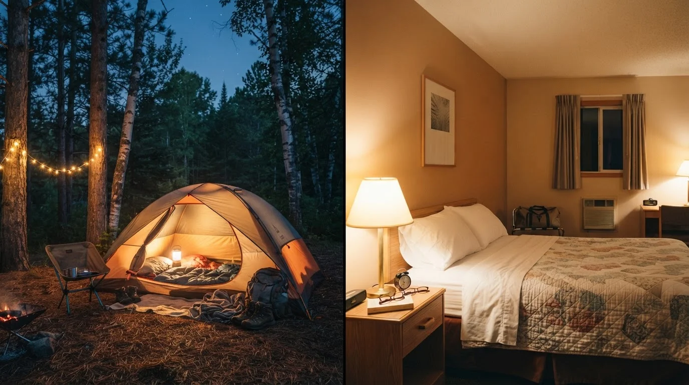
Lodging is where most road trip budgets balloon. Along the Great River Road, state parks in nearly every corridor state offer campsites ranging from roughly $15 to $35 per night - a fraction of motel costs. Mississippi River State Park in Arkansas, Perrot State Park in Wisconsin, and Trail of Tears State Park in Missouri are strong anchors for budget-minded itineraries.
For nights when campgrounds are unavailable, small river towns like Natchez, Mississippi; Hannibal, Missouri; and Wabasha, Minnesota tend to have independent motels priced well below chain hotel rates in larger cities.
Build a Daily Mileage Budget That Leaves Room to Stop
The Great River Road is a byway, not an expressway. Targeting 150-200 miles per day keeps fuel costs manageable and gives you genuine time at scenic overlooks, historic downtowns, and river access points. Pushing 300+ miles daily defeats the purpose of the route and racks up fuel spend with diminishing scenic return.
Plan fuel costs based on your vehicle's highway MPG and current regional gas price averages. Budget an extra 10-15% for detours - they're inevitable and often the best part. This approach mirrors the philosophy explored in scenic byway vs. interstate trade-offs, where slower daily mileage actually delivers better value.
Identify the Free Attractions Anchoring Each State
Every state along the route offers legitimate highlights that cost nothing or next to nothing. A short list to orient your planning:
- Minnesota: Itasca State Park (Mississippi headwaters); small entry fee, walk across the river's source
- Iowa: Effigy Mounds National Monument; free with America the Beautiful Pass
- Missouri: Historic downtown Hannibal; most sites are self-guided and free to walk
- Mississippi: Vicksburg National Military Park; free with Annual Pass
- Louisiana: Baton Rouge's River Road plantations area and the free Spanish Town neighborhoods of New Orleans' older quarters
Anchoring each overnight stop around a free or low-cost attraction keeps daily spend predictable.
Time the Drive for Shoulder Season Savings
May-early June and September-October offer the best combination of comfortable weather, lower accommodation prices, and thinner crowds at the major stops. Summer (July-August) brings peak pricing at campgrounds and motels in tourist-heavy towns like Natchez and La Crosse, Wisconsin. Winter is dramatic in the upper corridor but can mean closed facilities and icy byway sections.
If you're also weighing a companion Midwest road trip, the shoulder-season logic applies equally - the Ozarks road trip guide covers this well for the Missouri and Arkansas interior.
Pack a Cooler and Lean on Local Grocery Stores
Food spend is entirely within your control on a road trip. A well-stocked cooler with breakfasts and lunches cuts daily food costs dramatically - reserving restaurant spending for one meaningful local meal per day in a river town diner or tamale shop (the Delta has a rich tamale tradition worth experiencing). Grocery stores in small river towns are generally well-stocked and reasonably priced.
The America the Beautiful Pass Pays Off Here
If you plan to visit multiple National Park Service sites along the route - including Effigy Mounds in Iowa or Natchez Trace in the Deep South - the America the Beautiful Annual Pass can recoup its cost quickly. Pick one up at any federal fee site or online through the USGS store. It covers entry for your entire vehicle at hundreds of federal lands.
Connecting the Great River Road to Broader Midwest Travel
The Great River Road pairs naturally with adjacent road trip corridors, especially if you're building a longer Midwest loop. The Ozarks sit just west of the Missouri and Arkansas river corridor - rugged, affordable, and dramatically different in character from the flat river delta country. The Ozarks budget road trip guide covers how to plan that interior route without overspending.
If you're evaluating the Great River Road against a full cross-country drive, it's worth reading our northern vs. southern transcontinental route comparison before committing. The Mississippi corridor is slower and more regionally focused - intentionally so - and that comparison helps clarify whether that trade-off suits your trip goals and timeline.
However you approach it - a focused weekend in the Wisconsin bluffs or a two-week run from Itasca to New Orleans - the Great River Road rewards travelers who slow down, plan ahead, and let the river set the pace.