
The Public Land System Most Travelers Overlook
When people picture a national outdoor adventure, Yellowstone, the Grand Canyon, and Zion tend to dominate the imagination - and the parking lots. But the US manages a staggering amount of land beyond those headline names, and it belongs to you just as much. The Bureau of Land Management, the US Forest Service, the US Fish and Wildlife Service, and dozens of state agencies collectively oversee land that dwarfs the national park system in raw acreage.
Understanding this landscape is the single biggest unlock for budget-conscious travelers who want genuine wilderness without the reservation scramble. Visiting a national park affordably is absolutely doable, but for anyone who's been turned away from a full campground or watched a trailhead fill up by 7 a.m., these alternatives are worth knowing in depth.
245M+
Acres of BLM land open to the public
According to the Bureau of Land Management, the agency oversees approximately 245 million surface acres, primarily in 12 western states.
560+
National wildlife refuges across the US
The US Fish and Wildlife Service manages over 560 refuges, the majority of which are open to wildlife-dependent recreation at no entry cost.
$0
Typical entry fee for BLM-managed land
Most BLM-managed areas, including many national monuments, charge no entry fee, making them among the most accessible public lands in the country.
BLM Land: The Vast, Underutilized Middle Ground
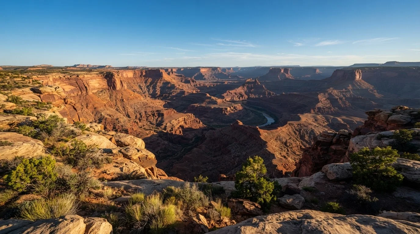
Bureau of Land Management territory is the workhorse of American public land - vast, varied, and largely unsung. Concentrated in the West, BLM land includes desert canyon systems in Utah, volcanic tablelands in California, sagebrush steppe in Nevada, and river corridors in Montana. Much of it is accessible by passenger car, though some areas reward drivers willing to take a graded dirt road.
The financial case is hard to argue with: dispersed camping is typically free, there's no entry fee, and the solitude is almost guaranteed. The Desert Southwest beyond Sedona is a perfect illustration - the Bisti Badlands in New Mexico and Utah's San Rafael Swell sit on BLM land and see a fraction of the traffic that nearby national parks absorb.
Start With a Field Office Call
Before heading to any BLM or national forest area, call the relevant field office - numbers are listed on agency websites. Rangers can tell you about current road conditions, active fire restrictions, and the best access points for your plans. This five-minute call prevents most common first-timer mistakes and is worth every second.
The catch is that BLM land requires more self-sufficiency. Amenities are minimal, signage can be sparse, and conditions change with weather. That's not a drawback for experienced campers - it's the point.
National Monuments, Forests, and Refuges: What Sets Each Apart
National monuments can be managed by either the NPS or the BLM. BLM-managed monuments - like Bears Ears and Grand Staircase-Escalante in Utah - typically charge no entry fee and allow camping in undeveloped areas. They protect remarkable geology and cultural sites while remaining less trafficked than nearby park units.
National forests, managed by the US Forest Service, cover about 193 million acres and permit a wide range of uses including camping, hiking, fishing, and some motorized recreation. Entry is free in most areas, and dispersed camping is allowed unless otherwise posted. They're a natural fit for road trip planning, since many forests connect directly to each other across state lines.
National wildlife refuges number more than 560 and prioritize habitat over recreation - but most are open to hiking and wildlife viewing, and many charge nothing at the gate. They're particularly rewarding for birdwatchers and photographers who want guaranteed encounters without a fee barrier.
State parks that rival national icons complete the picture - and many states operate entire state forest systems with primitive camping for a few dollars per night or nothing at all.
Planning a Trip to Lesser-Known Public Lands
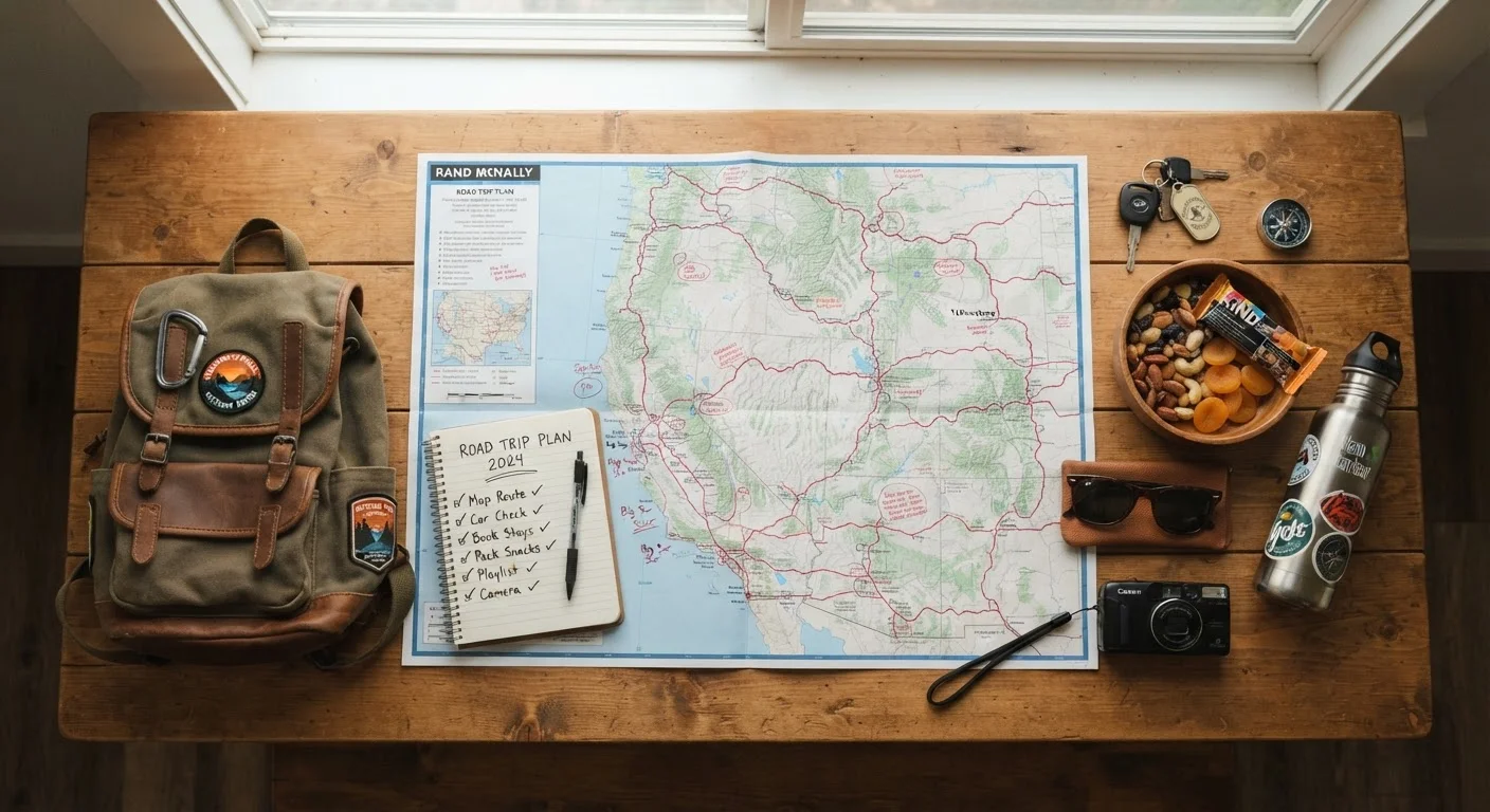
The planning process differs meaningfully from booking a national park trip. There are rarely timed-entry permits or reservations required, but that freedom comes with responsibility. Here's what practical preparation looks like:
- Identify the managing agency. Search the BLM's GeoBOB map or Recreation.gov to find what agency manages your target area and pull up their field office contact.
- Check road conditions. Many access roads are unpaved and can become impassable after rain. Field offices post updates, and calling ahead takes five minutes.
- Download offline maps. Cell coverage is often nonexistent. Apps like Avenza or Gaia GPS let you download topographic layers before you leave.
- Carry your own water. Developed water sources are rare outside campgrounds. Budget 1 gallon per person per day in hot or dry conditions.
- Know fire rules. Campfire restrictions shift seasonally and vary by jurisdiction. Check before you pack the firewood.
The Northern Great Plains offer a compelling case study - a region of national grasslands and mixed BLM land where a weekend of genuine frontier solitude costs almost nothing if you come prepared.
Safety and Preparation Are Non-Negotiable
Remote public lands offer extraordinary freedom, but they require genuine self-sufficiency. Emergency response times in isolated BLM and forest areas can be very long. Always share your itinerary with someone not on the trip, carry navigation tools that work without cell service, and know your physical limits before committing to an ambitious route. The goal is to come back with great stories, not to need a rescue.
For travelers accustomed to structured itineraries, starting with a national forest adjacent to a better-known park is a natural bridge. The scenery is comparable, the cost is lower, and you can build confidence before venturing further off the grid. Pair that with a weekend getaway mindset and these lands become accessible even on a tight schedule.