
Why Remote Destinations Demand a Different Kind of Prep
Heading to a crowd-free canyon, a seldom-visited national monument, or a remote forest campground is one of the most rewarding moves a budget traveler can make. No resort fees, no shoulder-to-shoulder parking lots, no overpriced concession stands. But the tradeoff is real: when something goes sideways in a remote location, there's no front desk to call and no rideshare to flag down.
The planning mistakes that are merely annoying on a city trip - forgetting to check hours, assuming there's gas nearby, not downloading maps - become genuinely dangerous when you're two hours from the nearest town. This checklist is designed to close those gaps before you leave home, not after you arrive.
If you're road-tripping to reach a lesser-known gem, pair this checklist with our road trip readiness checklist to cover the vehicle and logistics side. Solo travelers should also run through the solo traveler's pre-departure safety checklist for additional peace of mind.
Access & Road Conditions
Permits, Fees & Reservations
Water & Food Supply
Communication & Emergency Prep
Health, Safety & Leave No Trace
Tools and Resources You'll Need
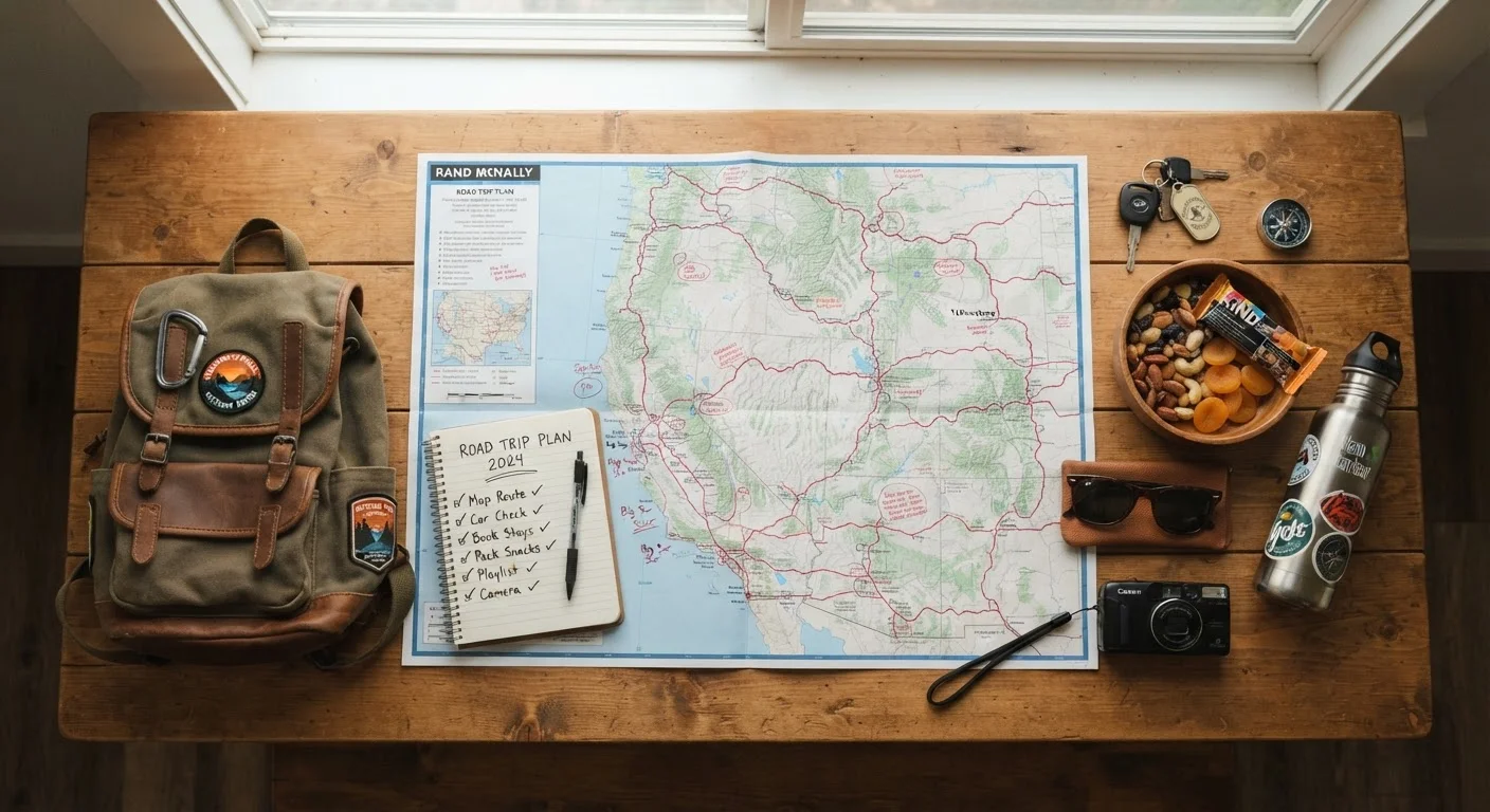
Before you start working through the checklist, gather the right tools. Using authoritative sources - not just travel blogs - is critical when verifying conditions at remote locations. Official agency websites, ranger district lines, and community knowledge all serve different purposes.
Land Management Agency Website
Verify road closures, permit requirements, and fee structures for the specific area you're visiting (NPS, BLM, USFS, or state agency).
Ranger Station Phone Number
Get real-time conditions directly from staff - road washouts, water source status, and recent wildlife activity often aren't reflected online.
Offline Mapping App
Download topo maps and trail data for your entire route before leaving cell service range.
Satellite Communicator or PLB
Send emergency alerts and maintain two-way communication in areas with no cellular coverage.
Water Filtration System
Treat water from natural sources when on-site potable water is unavailable.
Recreation.gov or State Reservation Portal
Check availability and book permits or campsites for federally managed recreation areas.
For digging deeper into a destination you've never visited, sourcing local knowledge from visitor centers and regional communities can surface details that no official website will list. Ranger stations, in particular, are an underused resource - a five-minute phone call can save an entire trip.
Don't Rely on Google Maps Alone
Standard navigation apps frequently show roads that are seasonally closed, washed out, or entirely unsuitable for passenger vehicles. In remote areas, following GPS directions blindly has stranded travelers miles from help. Always cross-reference your route with official agency maps and confirm conditions by phone before departing.
Conditions Change Without Notice
Flash floods, wildfires, sudden snowfall, and wildlife closures can affect remote areas without any update to agency websites. If you're planning a multi-day trip, build in flexibility and have an alternative site in mind. Never assume conditions will match what you read even 24 hours before arrival.
Once you've verified conditions and have your gear sorted, make sure a trusted contact at home has your full itinerary, including trailheads, campsites, and expected check-in times. This single step is the most overlooked element of remote travel safety.
Information in this article is general in nature. Road conditions, permit requirements, water availability, and emergency protocols change frequently. Always verify current details with land management agencies and official government sources before traveling.